


Instructions
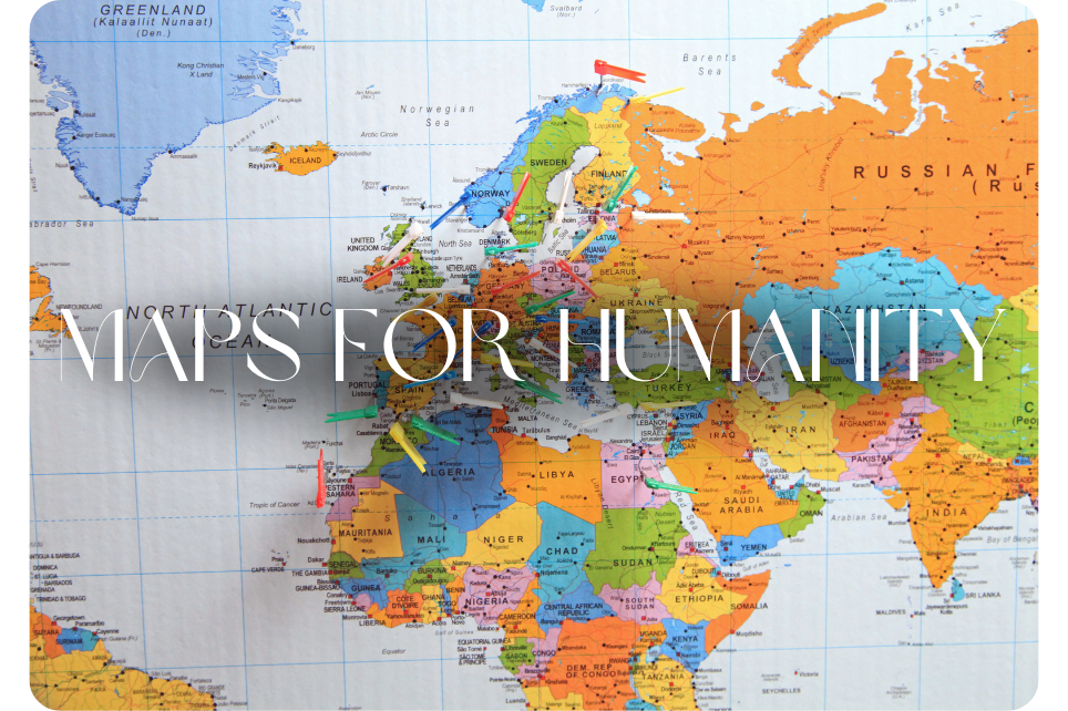
In partnership with MapSwipe, you’re joining a global mission to map vulnerable and unmapped regions, making it easier for humanitarian organizations to reach communities in need.

First and foremost,
thank you
Thank you for your participation. Humanitarian responders rely on accurate maps to deliver aid but many regions around the world are still unmapped. That’s where you come in. By identifying buildings and roads in satellite images, you’re helping teams on the ground focus their efforts and reach people faster.

Instructions
We work to keep things as simple as possible. If you have any questions, please get in touch with your event coordinator or reach out to “Kai” (WeHero Super Dog) in the lower-right corner of this page.

Step 1: Download MapSwipe & create account
- Download MapSwipe from the App Store or Google Play
- Open the app and create an account (this is separate from OpenStreetMap)
- Use your company name + first name as your username (e.g. weherotaylor)
.png)
Step 2: Choose a project
- Select any project you’d like to support
- Read the task description to see whether you’re looking for buildings, roads, or both
- Complete the quick tutorial to learn how to swipe

Step 3: Start mapping
- Tap once if you clearly see the feature
- Tap twice if you’re unsure
- Tap three times if the image is unclear or missing
- Don’t tap if the feature is not present
You've successfully completed your Maps for Humanity experience!
Nice work! Now what?

We’d love your thoughts!
Have 32 seconds? We always want to make these experiences better and would love your feedback.

Learn More
Visit the MapSwipe website to learn more about their mission and how you can continue supporting them.
Learn More


Have questions about your experience?
We’re here to help!
Get in touch with us here or give us a call. Feel free to also chat with Kai and he’ll fetch a member of our team to help!
